Terrestrial Laser Scanning
Get Latest Price
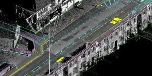
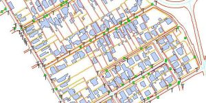
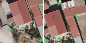
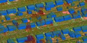
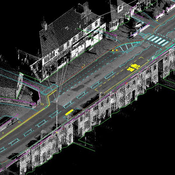
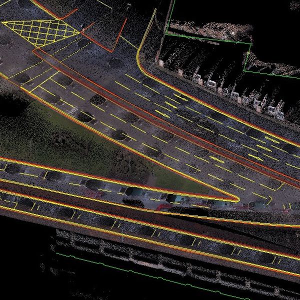
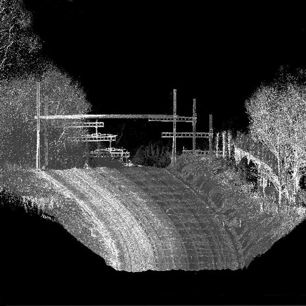
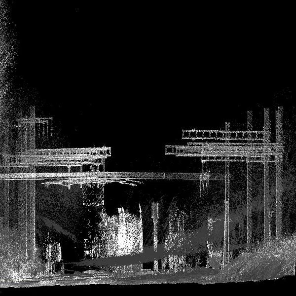
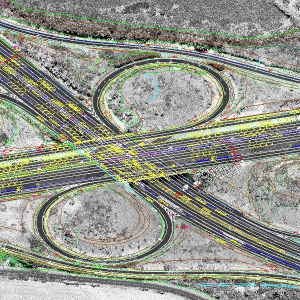
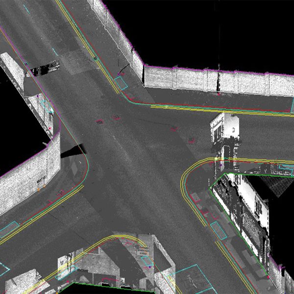
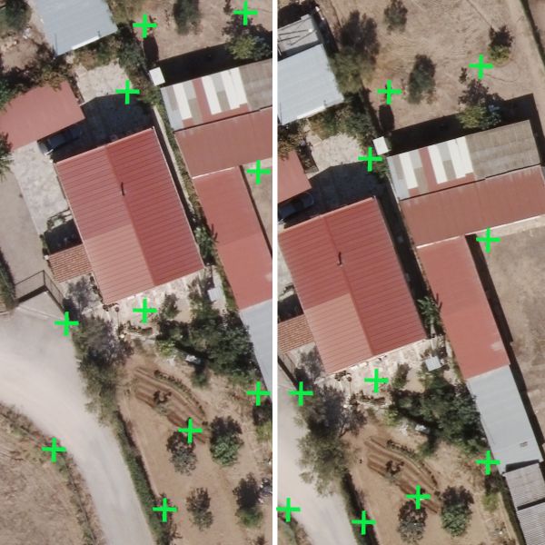
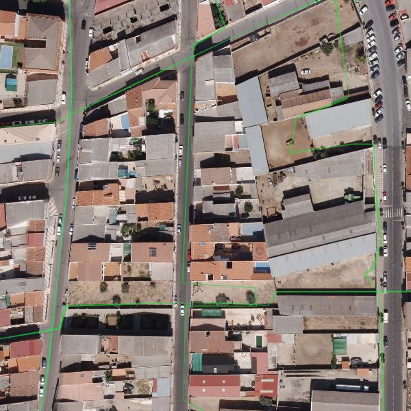
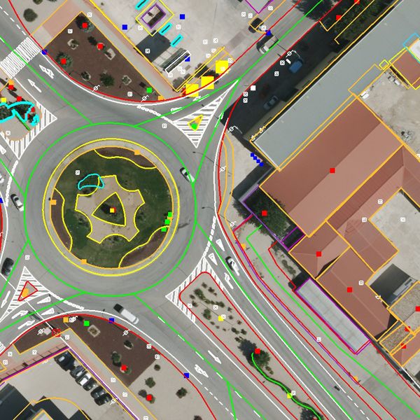
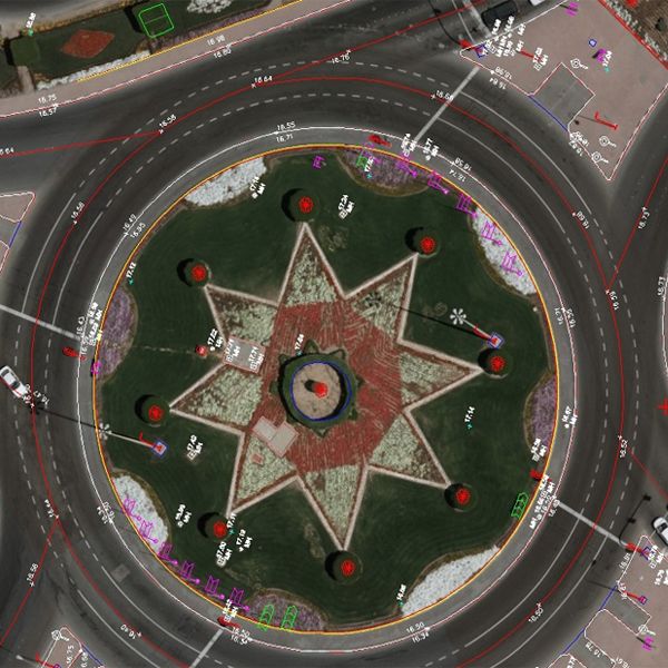
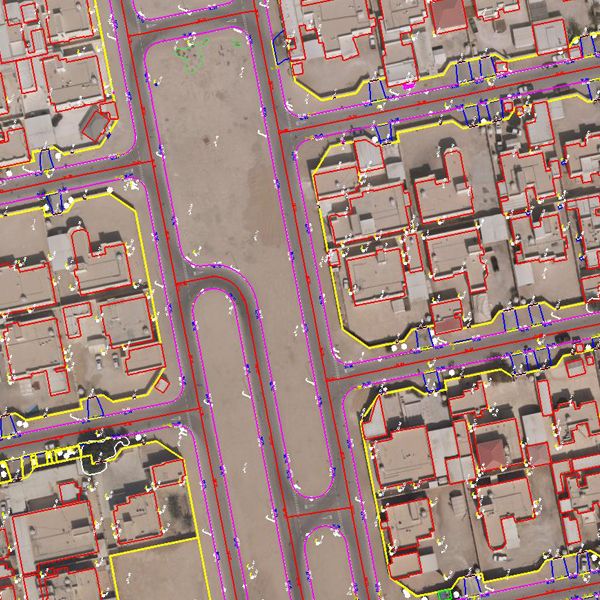
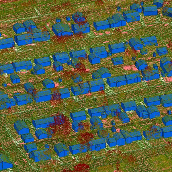
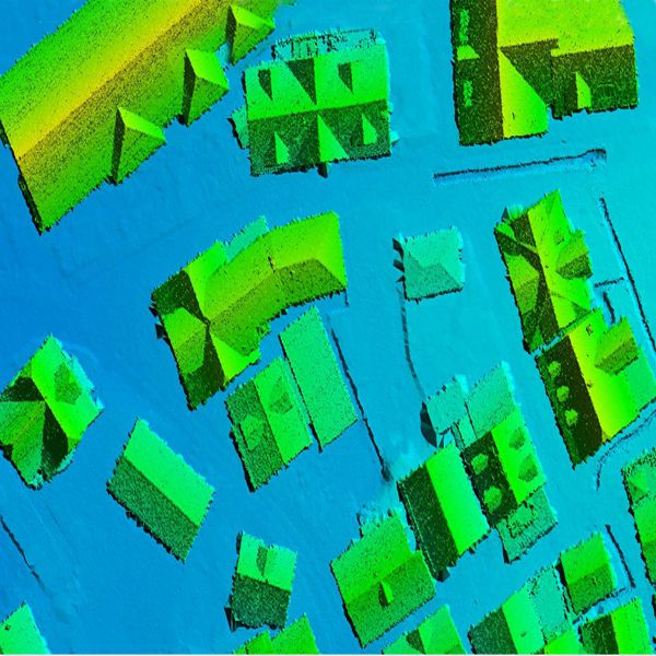
Terrestrial Laser scanning is a new method for surveying tasks, which allows to acquire easy and fast complex geometric data from buildings, machines, objects etc. Each point is determined by the position (x, y, z) and the intensity (i) of the returning signal. 3D laser scanners create “point clouds” of data from the surface of an object. In other words, 3D laser scanning is a way to capture a physical object’s exact size and shape into the computer world as a digital 3-dimensional representation.Surveying and Data Processing:Naksha Tech with its expert Team (more than 10 years’ Experience) and up to date Laser Scanning Equipment, our 3D laser scanners collect millions of points-per-second to produce a very dense and accurate collection of individual measurements known as a "point cloud" with a positional accuracy of 6mm. 3D scanning measures existing building interiors and exteriors, interstitial spaces, mechanical, electrical, plumbing, fire protection, pipe networks, construction sites, bridges, historical sites, topography and more. Our processes produce a 2D or 3D CAD model, assuring a dependable starting point for testing and verify design concepts to account for existing conditions and allow for construction coordination. Terrestrial Laser scanning products:
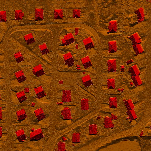
Point Cloud
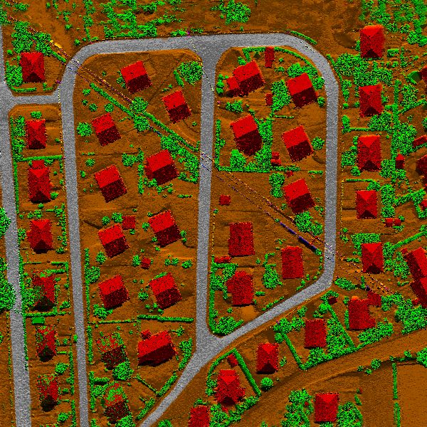
2D Plans, Elevation and section
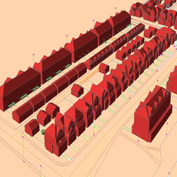
3D Model
BIM Model
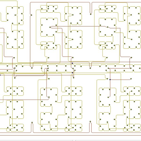
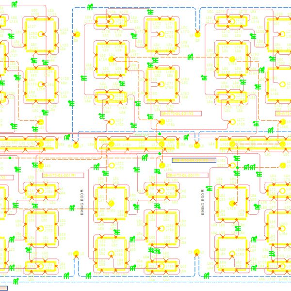
MEP Model
Structural Model
Bridge Model
Industrial Facility
3D Walkthrough Animation and Texturing
Where to Apply Terrestrial laser scanning:Building Information Modeling (BIM)BIM is a process for creating and managing all of the information on a project – before, during and after construction. The output of this process is the Building Information Model, the digital description of every aspect of the built asset. Laser scanning is the newest method for building information modeling (BIM), offering an accurate, cost-effective and highly integrative means of virtually modeling construction, retrofitting and restoration projects. We are specialized in this industry. We have worked more than 1000 project on BIM modeling like Architectural, Electrical, Structural and Mechanical units. Oil and Gas Industry3D Laser Scanning is the ideal tool for capturing data for Off Shore and On Shore oil and gas plants. Phase and Pulse-based scanners capture complex piping and steel networks for even the most difficult-to-reach areas. The results of 3D laser scanning are tied to the plant's coordinate system and can be directly loaded into most industry leading software including Bentley and Auto-Desk platforms. 3D modeled objects can be created and integrated into various design packages to give a true, real world "as-built" of the facility. This "as-built" model supports design, coordination, facility maintenance, management planning, and future virtual design and construction activities.Engineering ProjectsAs oppose to the classical methods used in engineering measurements, we provide the most accurate data you need in engineering projects such as highways, dams, tunnels, ship construction, and building facade applications in a very short time period with the help of 3D laser scanning technology.Laser scanning Work Flow:
Data Acquisition
Data Treatment
Visualization
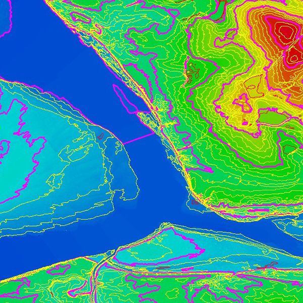
Classification and Digital Models
Quality Check and Final Product Delivery
...more