Remote Sensing Services in Bangalore

(4 service providers available)
  • Remote Sensing Services

    Remote Sensing Services

    4,999 / Pack

    • FIELDGIS
    • TYPEC0URSE
    • SUBJECTREMOTE SENSING
    • COURSESOFTWARE
    • MODEONLINE
    • LOCATIONBANGALORE
    • Country of OriginINDIA
    • Remote Sensing Software: Tools Empowering Geospatial Analysis Remote sensing software plays a crucial role in analyzing and interpreting data collected from satellite or aerial sensors. These specialized programs process imagery and geospatial data to extract meaningful information about the Earth’s surface and atmosphere. From environmental monitoring and agriculture to urban planning and disaster management, remote sensing software enables professionals to convert raw sensor data into actionable insights. Popular Remote Sensing Software and Their Features ERDAS Imagine Developed by Hexagon Geospatial, ERDAS Imagine is one of the most widely used remote sensing software. It offers comprehensive tools for image processing, classification, change detection, and advanced spatial modeling. ERDAS supports raster and vector data, multispectral and hyperspectral imagery, and LiDAR data. Its powerful image analysis capabilities enable detailed interpretation of land use, vegetation health, and environmental changes. ENVI ENVI, developed by Harris Geospatial Solutions, specializes in processing and analyzing geospatial imagery. It provides user-friendly tools for image classification, feature extraction, and hyperspectral image analysis. ENVI is renowned for its spectral analysis capabilities, allowing users to identify materials, vegetation types, and geological features through their spectral signatures. ENVI integrates well with ArcGIS for further spatial analysis. QGIS with Remote Sensing Plugins QGIS is an open-source GIS platform that supports remote sensing through various plugins like Semi-Automatic Classification Plugin (SCP). SCP enables users to perform image classification, atmospheric correction, and vegetation indices calculation. While QGIS is primarily a GIS tool, its remote sensing functionalities make it popular for users seeking a free and versatile solution. Google Earth Engine Google Earth Engine (GEE) is a cloud-based platform that provides access to petabytes of satellite imagery and geospatial datasets. It offers powerful scripting capabilities in JavaScript and Python to process large-scale datasets rapidly. GEE is widely used for time-series analysis, deforestation monitoring, urban expansion studies, and climate change research. Its cloud computing power eliminates the need for local high-performance hardware. PCI Geomatica PCI Geomatica is another comprehensive remote sensing software suite known for image processing, photogrammetry, and geospatial data analysis. It supports radar, optical, and multispectral data and offers advanced tools like terrain extraction, orthorectification, and mosaicking. PCI is preferred for integrating multiple data types and preparing data for GIS use. Key Functionalities of Remote Sensing Software Image Preprocessing: Correcting raw imagery for sensor errors, atmospheric interference, and geometric distortions. Classification: Assigning land cover types through supervised or unsupervised classification methods. Change Detection: Comparing multi-temporal images to monitor environmental changes like deforestation or urban sprawl. Feature Extraction: Identifying specific objects such as roads, water bodies, or vegetation using spectral and spatial characteristics. Spectral Analysis: Analyzing reflectance properties to distinguish materials and assess vegetation health (e.g., NDVI). 3D Modeling: Creating digital elevation models (DEM) and terrain models using stereo imagery or LiDAR data. Applications of Remote Sensing Software Environmental Monitoring: Tracking deforestation, desertification, glacier retreat, and natural disasters. Agriculture: Assessing crop health, soil moisture, and irrigation needs. Urban Planning: Mapping urban growth, infrastructure development, and land use zoning. Disaster Management: Monitoring floods, wildfires, earthquakes, and coordinating response efforts. Climate Studies: Analyzing atmospheric data, sea surface
    ...more
  • Remote Sensing

    Remote Sensing

    Get Price Quote

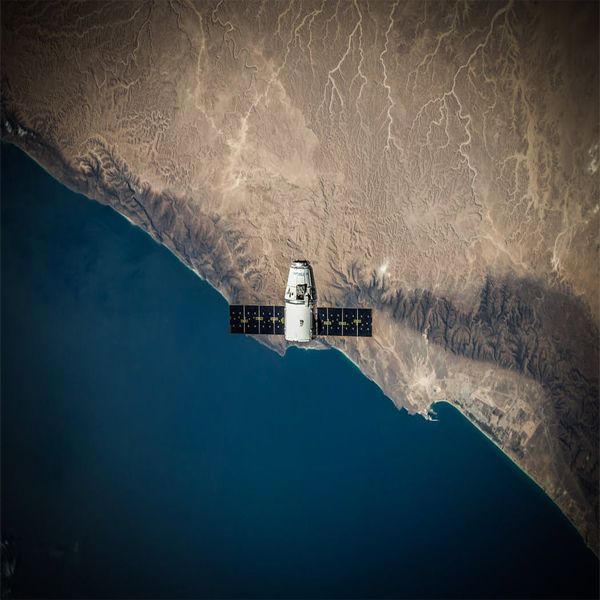
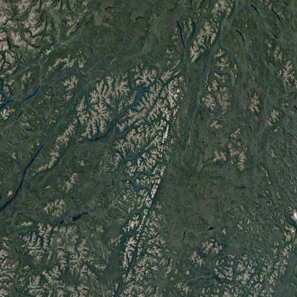
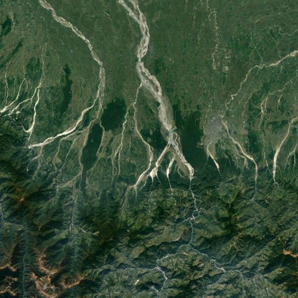
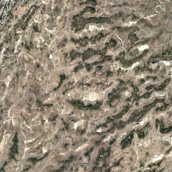
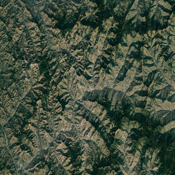
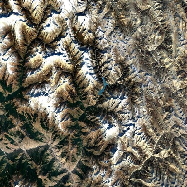
    Remote Sensing is a technology of obtaining information about an object without a physical contact with the object but with a sensor mounted on an aircraft or a satellite. The underlying concept is that the sensor either detects the natural radiation that is emitted or reflected by the object (Passive Remote Sensing) or emits energy to scan objects and measure the radiation that is backscattered from the object (Active Remote Sensing) .The advantage of Remote Sensing is that it makes it possible to collect data even in inaccessible areas.Remote Sensing has numerous applications and not limited to the management of various resources like agriculture, forestry, geology, water, ocean, mining, mineral exploration etc. With the availability of high resolution satellites in recent years, the applications have grown. Few of the most common applications include,Land use/Land cover MappingFlood Mapping/MonitoringCoastal Zone studiesMilitary IntelligenceMeteorology, Earth Science & moreThe output of a remote sensing system is usually an image representing the scene being observed. But this digital image is to be processed further so as to extract useful information. Naksha tech has a department handling the remotely sensed digital images often involving the image correction, enhancement and classification (categorizes all pixels in an image into land cover classes or themes). The professionals at Naksha tech appreciate the immense value of this technology and were the supplying the customers of geospatial sector with a valuable information to meet their needs.
    ...more
  • Remote Sensing Services

    Remote Sensing Services

    Get Price Quote

    Remote Sensing Services, Survey Services, Software Development Servic
  • Remote Sensing Services

    Remote Sensing Services

    Get Price Quote

    Remote Sensing Services, Data Conversions Servic
top