-1749191681-8116365.jpeg) +1
+1
Gis Development Course (3Months)
14,999 / Pack

GIS Application Development Services
Get Price Quote
 +6
+6
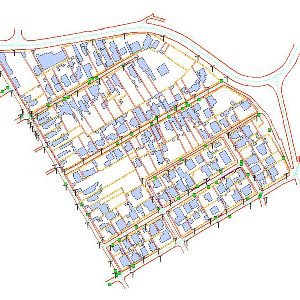
Gis Data Conversion
Get Price Quote
Gis Solution
Get Price Quote

GIS Database Designing Service
Get Price Quote
Gis Solution
Get Price Quote
GIS/CADD Data Development & Maintenance
Get Price Quote
GIS Database Designing Service
Get Price Quote
Gis Solution
Get Price Quote
GIS Data Conversion Services
Get Price Quote
GIS Database Designing Service
Get Price Quote
Enterprise GIS Solution
Get Price Quote
GIS Application Development Services
Get Price Quote
Enterprise GIS Solution
Get Price Quote
GIS Application Development
Get Price Quote
GIS Database Design
Get Price Quote
Gis Development
Get Price Quote
GIS Application Development Services
Get Price Quote
GIS Application Development Services
Get Price Quote
GIS Software Development
Get Price Quote
GIS Applications Development
Get Price Quote


